View Towards Dorking
Introduction
The photograph on this page of View Towards Dorking by Peter Trimming as part of the Geograph project.
The Geograph project started in 2005 with the aim of publishing, organising and preserving representative images for every square kilometre of Great Britain, Ireland and the Isle of Man.

There are currently over 7.5m images from over 14,400 individuals and you can help contribute to the project by visiting https://www.geograph.org.uk
View Towards Dorking
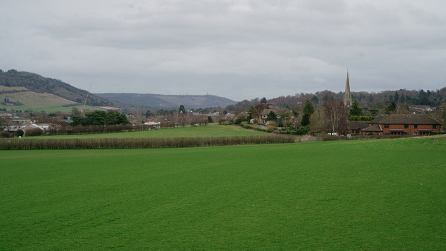
Image: © Peter Trimming Taken: 8 Mar 2019
Seen from Miltoncourt Lane. Box Hill is to the extreme left of picture, and Reigate Hill towards the centre of picture.
Images are licensed for reuse under creativecommons.org/licenses/by-sa/2.0
Image Location
Latitude
51.231586
Longitude
-0.34841