Wyrley Bank branch of the Wyrley & Essington Canals
Introduction
The photograph on this page of Wyrley Bank branch of the Wyrley & Essington Canals by Richard Law as part of the Geograph project.
The Geograph project started in 2005 with the aim of publishing, organising and preserving representative images for every square kilometre of Great Britain, Ireland and the Isle of Man.

There are currently over 7.5m images from over 14,400 individuals and you can help contribute to the project by visiting https://www.geograph.org.uk
Wyrley Bank branch of the Wyrley & Essington Canals
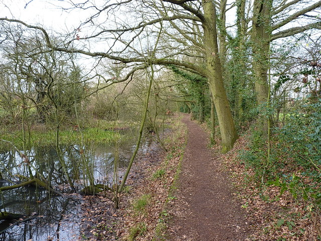
Image: © Richard Law Taken: 14 Jan 2019
Originally part of the Birmingham Canal Navigations system, the Wyrley Bank branch opened in 1798 and ran from Sneyd to Wyrley Bank; it was later extended to Great Wyrley in the 1850s in order to carry coal from the mines in that area. The whole thing is looking somewhat neglected these days, with low water levels and an air of unkemptness, which is a pity as it's a local nature reserve.
Images are licensed for reuse under creativecommons.org/licenses/by-sa/2.0
Image Location
Latitude
52.646154
Longitude
-2.029369