Mickletown Ings SSSI - open field
Introduction
The photograph on this page of Mickletown Ings SSSI - open field by Stephen Craven as part of the Geograph project.
The Geograph project started in 2005 with the aim of publishing, organising and preserving representative images for every square kilometre of Great Britain, Ireland and the Isle of Man.

There are currently over 7.5m images from over 14,400 individuals and you can help contribute to the project by visiting https://www.geograph.org.uk
Mickletown Ings SSSI - open field
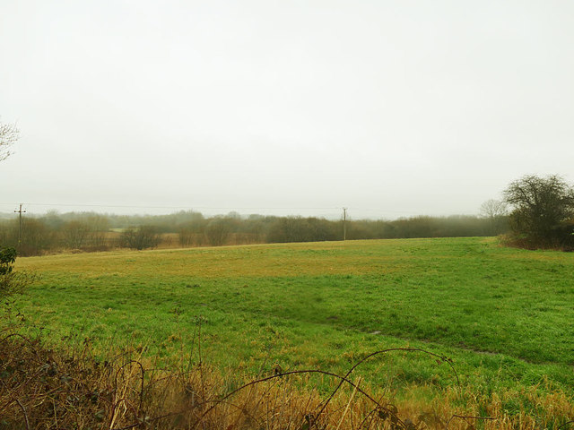
Image: © Stephen Craven Taken: 3 Mar 2019
The SSSI covers a large area north of Mickletown village up to the route of the former Aire & Calder Navigation. This is the view to the east of Pit Lane.
Images are licensed for reuse under creativecommons.org/licenses/by-sa/2.0
Image Location
Latitude
53.742264
Longitude
-1.395311