Pentrebach House bus stops and shelters, Pentrebach
Introduction
The photograph on this page of Pentrebach House bus stops and shelters, Pentrebach by Jaggery as part of the Geograph project.
The Geograph project started in 2005 with the aim of publishing, organising and preserving representative images for every square kilometre of Great Britain, Ireland and the Isle of Man.

There are currently over 7.5m images from over 14,400 individuals and you can help contribute to the project by visiting https://www.geograph.org.uk
Pentrebach House bus stops and shelters, Pentrebach
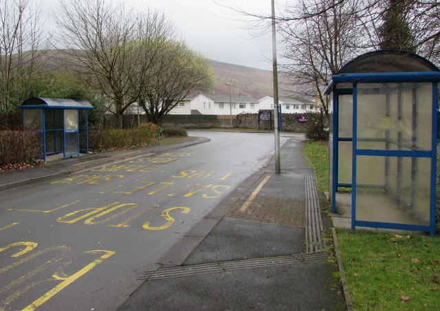
Image: © Jaggery Taken: 4 Mar 2019
The stop on the left is for buses to Bedlinog via Treharris or Bryngoleu via Aberfan. The stop on the right is for buses to Merthyr Tydfil bus station.
Images are licensed for reuse under creativecommons.org/licenses/by-sa/2.0
Image Location
Latitude
51.726291
Longitude
-3.360621