Houses on a drumlin north of Jerrettspass
Introduction
The photograph on this page of Houses on a drumlin north of Jerrettspass by Eric Jones as part of the Geograph project.
The Geograph project started in 2005 with the aim of publishing, organising and preserving representative images for every square kilometre of Great Britain, Ireland and the Isle of Man.

There are currently over 7.5m images from over 14,400 individuals and you can help contribute to the project by visiting https://www.geograph.org.uk
Houses on a drumlin north of Jerrettspass
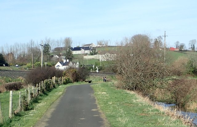
Image: © Eric Jones Taken: 21 Feb 2019
These houses, here photographed from the towpath of the Newry Canal, are located between the railway and the summit Ashtree Hill.
Images are licensed for reuse under creativecommons.org/licenses/by-sa/2.0
Image Location
Latitude
54.25347
Longitude
-6.369937