Main road, Pontrhydygroes
Introduction
The photograph on this page of Main road, Pontrhydygroes by Nigel Brown as part of the Geograph project.
The Geograph project started in 2005 with the aim of publishing, organising and preserving representative images for every square kilometre of Great Britain, Ireland and the Isle of Man.

There are currently over 7.5m images from over 14,400 individuals and you can help contribute to the project by visiting https://www.geograph.org.uk
Main road, Pontrhydygroes
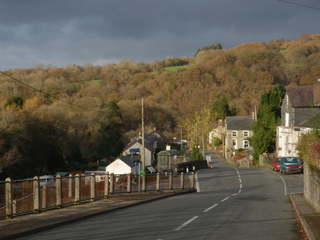
Image: © Nigel Brown Taken: 9 Nov 2007
The B4343 climbing steadily up through the village. The railings on the left are to protect the drop onto the minor road which heads off down the Ystwyth valley.
Images are licensed for reuse under creativecommons.org/licenses/by-sa/2.0
Image Location
Latitude
52.33515
Longitude
-3.851995