The Woodland Trust's Canal Wood
Introduction
The photograph on this page of The Woodland Trust's Canal Wood by Eric Jones as part of the Geograph project.
The Geograph project started in 2005 with the aim of publishing, organising and preserving representative images for every square kilometre of Great Britain, Ireland and the Isle of Man.

There are currently over 7.5m images from over 14,400 individuals and you can help contribute to the project by visiting https://www.geograph.org.uk
The Woodland Trust's Canal Wood
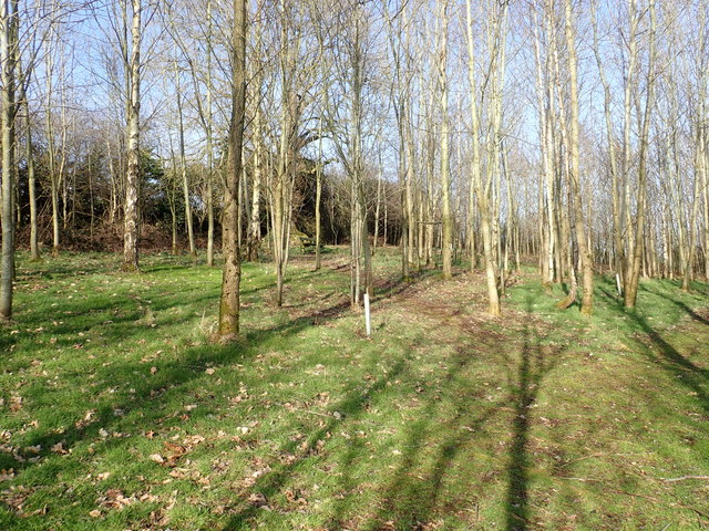
Image: © Eric Jones Taken: 21 Feb 2019
The land between the railway and the canal towpath was purchased from the Northern Ireland Transport Holdings by the Woodland Trust in 2000. Since then 2.7 hectares of the site has been planted with over 6000 trees to create a community woodland. These trees are a mix of alder, willow and other broadleaves. Approximately 2.5 ha of the site is being kept as open wetland.
Images are licensed for reuse under creativecommons.org/licenses/by-sa/2.0
Image Location
Latitude
54.255738
Longitude
-6.364937