Park Street direction signs in Treforest
Introduction
The photograph on this page of Park Street direction signs in Treforest by Jaggery as part of the Geograph project.
The Geograph project started in 2005 with the aim of publishing, organising and preserving representative images for every square kilometre of Great Britain, Ireland and the Isle of Man.

There are currently over 7.5m images from over 14,400 individuals and you can help contribute to the project by visiting https://www.geograph.org.uk
Park Street direction signs in Treforest
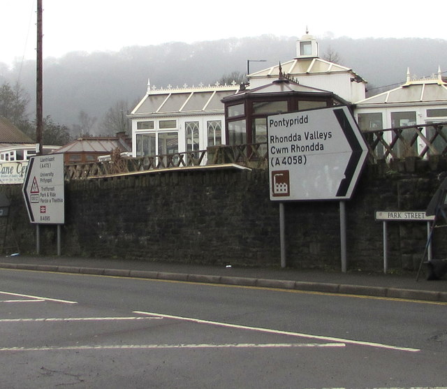
Image: © Jaggery Taken: 1 Mar 2019
Opposite the Forest Road junction. Right along Park Street for Pontypridd and the Rhondda Valleys (Cwm Rhondda in Welsh). Left for Llantrisant, the university and Treforest Park & Ride.
Images are licensed for reuse under creativecommons.org/licenses/by-sa/2.0
Image Location
Latitude
51.591196
Longitude
-3.324677