Tollhouse by the B6318, Nicholforest parish
Introduction
The photograph on this page of Tollhouse by the B6318, Nicholforest parish by Milestone Society as part of the Geograph project.
The Geograph project started in 2005 with the aim of publishing, organising and preserving representative images for every square kilometre of Great Britain, Ireland and the Isle of Man.

There are currently over 7.5m images from over 14,400 individuals and you can help contribute to the project by visiting https://www.geograph.org.uk
Tollhouse by the B6318, Nicholforest parish
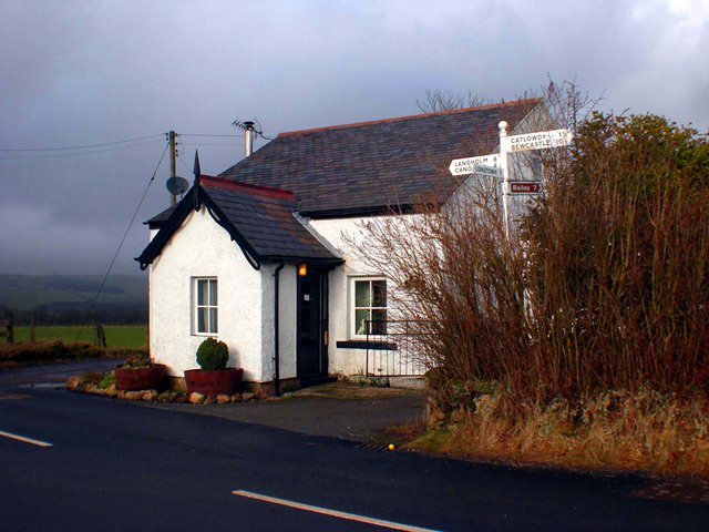
Image: © Milestone Society Taken: Unknown
Bridge Cottage by the B6318 at the junction with the road to Longtown, in parish of Nicholforest (Carlisle District). To be surveyed Milestone Society National ID: CB.NIC
Images are licensed for reuse under creativecommons.org/licenses/by-sa/2.0
Image Location
Latitude
55.079901
Longitude
-2.881046