The Crescent, Plymouth
Introduction
The photograph on this page of The Crescent, Plymouth by Stephen Richards as part of the Geograph project.
The Geograph project started in 2005 with the aim of publishing, organising and preserving representative images for every square kilometre of Great Britain, Ireland and the Isle of Man.

There are currently over 7.5m images from over 14,400 individuals and you can help contribute to the project by visiting https://www.geograph.org.uk
The Crescent, Plymouth
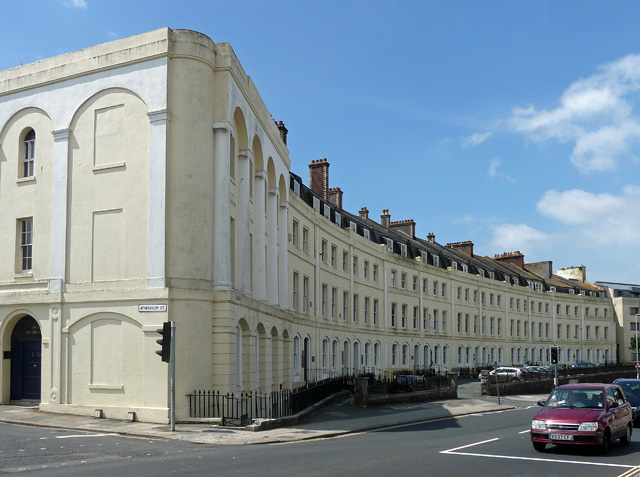
Image: © Stephen Richards Taken: 15 Jun 2014
The city's solitary surviving Georgian set piece, at least in the civic centre. It is not complete though - six of the eighteen houses didn't make it. Part of the area laid out by John Foulston and George Wightwick in the early C19th. Grade II*/II listed.
Images are licensed for reuse under creativecommons.org/licenses/by-sa/2.0
Image Location
Latitude
50.368145
Longitude
-4.1464