Ordnance Survey passive GPS station, Fisherton, Ayrshire
Introduction
The photograph on this page of Ordnance Survey passive GPS station, Fisherton, Ayrshire by Claire Pegrum as part of the Geograph project.
The Geograph project started in 2005 with the aim of publishing, organising and preserving representative images for every square kilometre of Great Britain, Ireland and the Isle of Man.

There are currently over 7.5m images from over 14,400 individuals and you can help contribute to the project by visiting https://www.geograph.org.uk
Ordnance Survey passive GPS station, Fisherton, Ayrshire
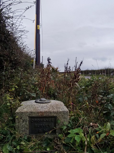
Image: © Claire Pegrum Taken: 25 Sep 2018
The block lies on the south side of the A719 a few metres to the east of Fisherton Parish Church.
Images are licensed for reuse under creativecommons.org/licenses/by-sa/2.0
Image Location
Latitude
55.421254
Longitude
-4.726723