Footpath to the county boundary
Introduction
The photograph on this page of Footpath to the county boundary by Jonathan Thacker as part of the Geograph project.
The Geograph project started in 2005 with the aim of publishing, organising and preserving representative images for every square kilometre of Great Britain, Ireland and the Isle of Man.

There are currently over 7.5m images from over 14,400 individuals and you can help contribute to the project by visiting https://www.geograph.org.uk
Footpath to the county boundary
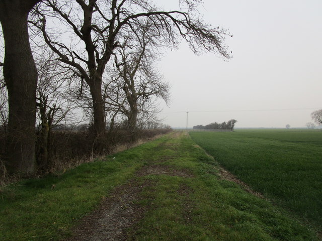
Image: © Jonathan Thacker Taken: 28 Feb 2019
This path is unmarked and as I walked it proved to be unused. But I did manage it to the county boundary where it ends, thanks to a prolonged dry spell (today marked the end of it) and crops being in the early stages of their growth.
Images are licensed for reuse under creativecommons.org/licenses/by-sa/2.0
Image Location
Latitude
53.017192
Longitude
-0.7803