The village of Shroton, also known as Iwerne Courtney
Introduction
The photograph on this page of The village of Shroton, also known as Iwerne Courtney by Tim Heaton as part of the Geograph project.
The Geograph project started in 2005 with the aim of publishing, organising and preserving representative images for every square kilometre of Great Britain, Ireland and the Isle of Man.

There are currently over 7.5m images from over 14,400 individuals and you can help contribute to the project by visiting https://www.geograph.org.uk
The village of Shroton, also known as Iwerne Courtney
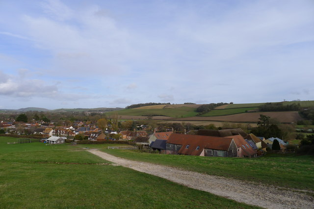
Image: © Tim Heaton Taken: 6 Feb 2019
For the origin of the village's two names, see https://en.wikipedia.org/wiki/Iwerne_Courtney. Apparently the locals always refer to it as Shroton.
Images are licensed for reuse under creativecommons.org/licenses/by-sa/2.0
Image Location
Latitude
50.913231
Longitude
-2.201649