Path along the top of East Dyke
Introduction
The photograph on this page of Path along the top of East Dyke by Stanley Howe as part of the Geograph project.
The Geograph project started in 2005 with the aim of publishing, organising and preserving representative images for every square kilometre of Great Britain, Ireland and the Isle of Man.

There are currently over 7.5m images from over 14,400 individuals and you can help contribute to the project by visiting https://www.geograph.org.uk
Path along the top of East Dyke
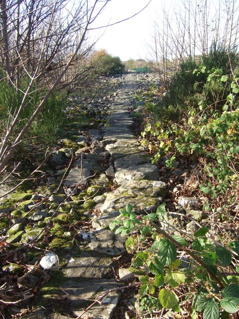
Image: © Stanley Howe Taken: 8 Nov 2007
Believed to be of late 19th century construction. The dyke was made of stones cleared from the land to facilitate agriculture.
Images are licensed for reuse under creativecommons.org/licenses/by-sa/2.0
Image Location


Leaflet Map data © OpenStreetMap
Latitude
57.155025
Longitude
-2.222309