Higham Road, near Chattenden
Introduction
The photograph on this page of Higham Road, near Chattenden by Malc McDonald as part of the Geograph project.
The Geograph project started in 2005 with the aim of publishing, organising and preserving representative images for every square kilometre of Great Britain, Ireland and the Isle of Man.

There are currently over 7.5m images from over 14,400 individuals and you can help contribute to the project by visiting https://www.geograph.org.uk
Higham Road, near Chattenden
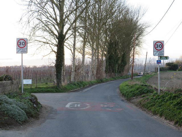
Image: © Malc McDonald Taken: 23 Feb 2019
This road is on the route of National Cycle Network routes 1 and 179. Route 179, named "The Heron Trail", was previously designated as regional cycle route 18.
Images are licensed for reuse under creativecommons.org/licenses/by-sa/2.0
Image Location
Latitude
51.415184
Longitude
0.505131