Sheila Russell Community Centre, Bilborough
Introduction
The photograph on this page of Sheila Russell Community Centre, Bilborough by Alan Murray-Rust as part of the Geograph project.
The Geograph project started in 2005 with the aim of publishing, organising and preserving representative images for every square kilometre of Great Britain, Ireland and the Isle of Man.

There are currently over 7.5m images from over 14,400 individuals and you can help contribute to the project by visiting https://www.geograph.org.uk
Sheila Russell Community Centre, Bilborough
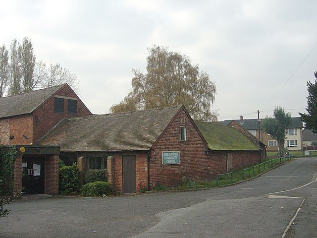
Image: © Alan Murray-Rust Taken: 4 Nov 2007
The outbuildings of The Farmhouse have been incorporated into the local Community Centre.
Images are licensed for reuse under creativecommons.org/licenses/by-sa/2.0
Image Location
Latitude
52.972295
Longitude
-1.226223