Blue Pot Cottage, Manchester Road, Barnoldswick
Introduction
The photograph on this page of Blue Pot Cottage, Manchester Road, Barnoldswick by Dr Neil Clifton as part of the Geograph project.
The Geograph project started in 2005 with the aim of publishing, organising and preserving representative images for every square kilometre of Great Britain, Ireland and the Isle of Man.

There are currently over 7.5m images from over 14,400 individuals and you can help contribute to the project by visiting https://www.geograph.org.uk
Blue Pot Cottage, Manchester Road, Barnoldswick
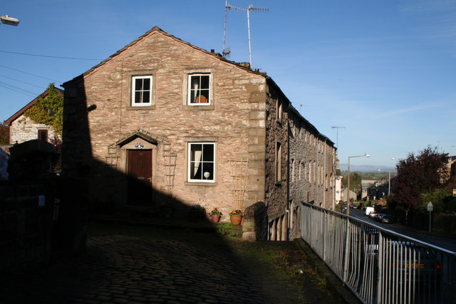
Image: © Dr Neil Clifton Taken: 30 Oct 2007
Otherwise 85, Manchester Road, but the other cottages in this row have their own numbers independent of Manchester Road.
Images are licensed for reuse under creativecommons.org/licenses/by-sa/2.0
Image Location
Latitude
53.912973
Longitude
-2.187821