Hall Lane, Church Fenton
Introduction
The photograph on this page of Hall Lane, Church Fenton by Paul Glazzard as part of the Geograph project.
The Geograph project started in 2005 with the aim of publishing, organising and preserving representative images for every square kilometre of Great Britain, Ireland and the Isle of Man.

There are currently over 7.5m images from over 14,400 individuals and you can help contribute to the project by visiting https://www.geograph.org.uk
Hall Lane, Church Fenton
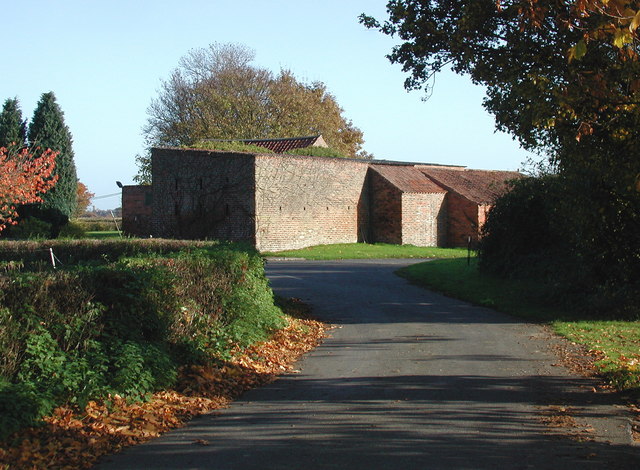
Image: © Paul Glazzard Taken: 6 Nov 2007
Looking east-northeast from Hall Lane towards the barn at Vine Croft on the junction of Nanny Lane and Broad Lane, Church Fenton.
Images are licensed for reuse under creativecommons.org/licenses/by-sa/2.0
Image Location
Latitude
53.822501
Longitude
-1.205637