Mayflower Park, near Worcester Park
Introduction
The photograph on this page of Mayflower Park, near Worcester Park by Malc McDonald as part of the Geograph project.
The Geograph project started in 2005 with the aim of publishing, organising and preserving representative images for every square kilometre of Great Britain, Ireland and the Isle of Man.

There are currently over 7.5m images from over 14,400 individuals and you can help contribute to the project by visiting https://www.geograph.org.uk
Mayflower Park, near Worcester Park
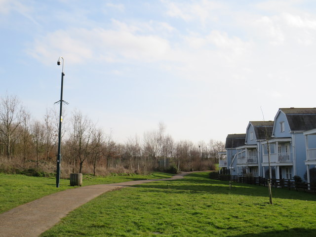
Image: © Malc McDonald Taken: 17 Feb 2019
Mayflower Park has been created on the site of a former sewage works in the suburbs of south west London. The park opened in 2006. The buildings to the right of the image form part of The Hamptons housing development, which occupies the rest of the former sewage works site.
Images are licensed for reuse under creativecommons.org/licenses/by-sa/2.0
Image Location
Latitude
51.386768
Longitude
-0.235327