Bwlchgwyn Church
Introduction
The photograph on this page of Bwlchgwyn Church by Eirian Evans as part of the Geograph project.
The Geograph project started in 2005 with the aim of publishing, organising and preserving representative images for every square kilometre of Great Britain, Ireland and the Isle of Man.

There are currently over 7.5m images from over 14,400 individuals and you can help contribute to the project by visiting https://www.geograph.org.uk
Bwlchgwyn Church
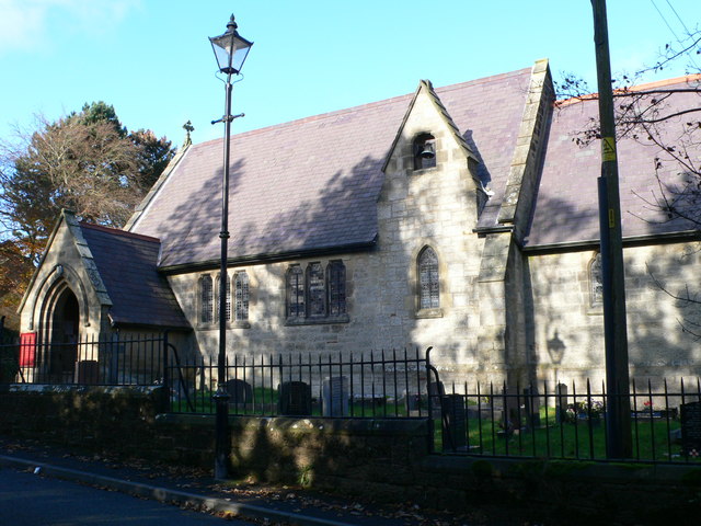
Image: © Eirian Evans Taken: 6 Nov 2007
A combined school and chapel of ease was built in 1867. It was later converted to a church by adding a chancel, vestry and porch, and was consecrated as Christ Church on 1 October 1879.
Images are licensed for reuse under creativecommons.org/licenses/by-sa/2.0
Image Location
Latitude
53.072259
Longitude
-3.097615