Approaching the Village with Two Names
Introduction
The photograph on this page of Approaching the Village with Two Names by Chris Heaton as part of the Geograph project.
The Geograph project started in 2005 with the aim of publishing, organising and preserving representative images for every square kilometre of Great Britain, Ireland and the Isle of Man.

There are currently over 7.5m images from over 14,400 individuals and you can help contribute to the project by visiting https://www.geograph.org.uk
Approaching the Village with Two Names
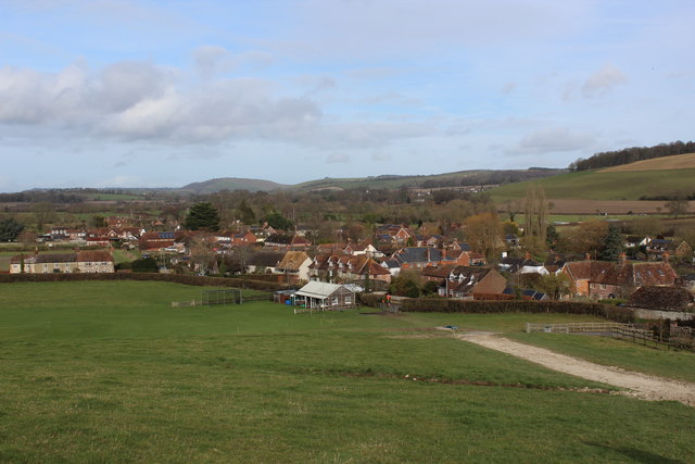
Image: © Chris Heaton Taken: 6 Feb 2019
Wessex Ridgeway approaching Iwerne Courtney or Shrorton from the south - either name will do, locals know where the village is.
Images are licensed for reuse under creativecommons.org/licenses/by-sa/2.0
Image Location
Latitude
50.912421
Longitude
-2.201787