Bridge over the Test at Kimbridge
Introduction
The photograph on this page of Bridge over the Test at Kimbridge by Rosemary Oakeshott as part of the Geograph project.
The Geograph project started in 2005 with the aim of publishing, organising and preserving representative images for every square kilometre of Great Britain, Ireland and the Isle of Man.

There are currently over 7.5m images from over 14,400 individuals and you can help contribute to the project by visiting https://www.geograph.org.uk
Bridge over the Test at Kimbridge
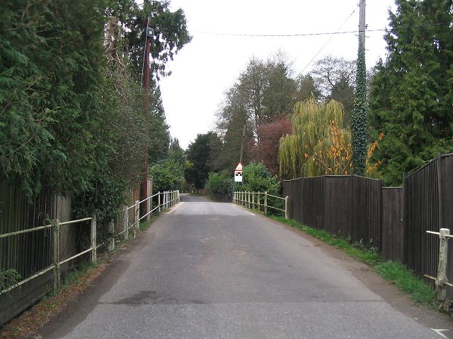
Image: © Rosemary Oakeshott Taken: 7 Nov 2007
The last, and widest, of a series of narrow bridges on the approach to the level crossing. the level crossing
Images are licensed for reuse under creativecommons.org/licenses/by-sa/2.0
Image Location


Leaflet Map data © OpenStreetMap
Latitude
51.0282
Longitude
-1.531954