OS 1GL Bolt: Bourtie Church
Introduction
The photograph on this page of OS 1GL Bolt: Bourtie Church by thejackrustles as part of the Geograph project.
The Geograph project started in 2005 with the aim of publishing, organising and preserving representative images for every square kilometre of Great Britain, Ireland and the Isle of Man.

There are currently over 7.5m images from over 14,400 individuals and you can help contribute to the project by visiting https://www.geograph.org.uk
OS 1GL Bolt: Bourtie Church
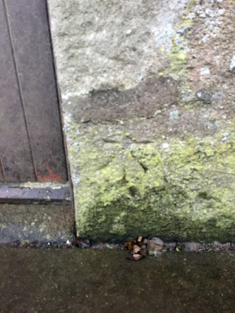
Image: © thejackrustles Taken: 9 Dec 2018
Bourtie Parish Church. Bolt in North front; 1.17 ft. above surface [1GL, Alford Bridge to Banff, Branch Levelling from Mark No. 53(b)]; PA BOLT BOURTIE CH NW FACE 4.3M N ANG (ODN 160.1663m, AGL 0.3m).
Images are licensed for reuse under creativecommons.org/licenses/by-sa/2.0
Image Location
Latitude
57.313885
Longitude
-2.326195