Nunney Houses [3]
Introduction
The photograph on this page of Nunney Houses [3] by Michael Dibb as part of the Geograph project.
The Geograph project started in 2005 with the aim of publishing, organising and preserving representative images for every square kilometre of Great Britain, Ireland and the Isle of Man.

There are currently over 7.5m images from over 14,400 individuals and you can help contribute to the project by visiting https://www.geograph.org.uk
Nunney Houses [3]
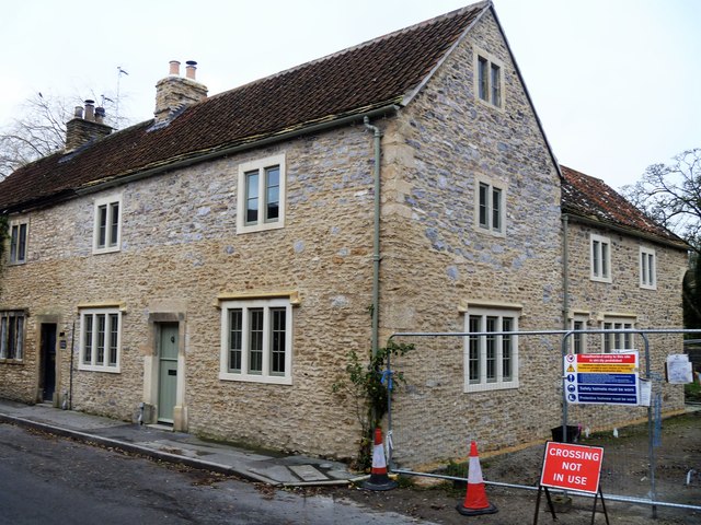
Image: © Michael Dibb Taken: 11 Dec 2018
Number 2 Church Street has been recently restored and a rear extension added. Number 2 and the adjoining two houses are early 18th century and are listed, grade II, with details at: https://historicengland.org.uk/listing/the-list/list-entry/1295684
Images are licensed for reuse under creativecommons.org/licenses/by-sa/2.0
Image Location


Leaflet Map data © OpenStreetMap
Latitude
51.209714
Longitude
-2.37802