Painshawfield Road
Introduction
The photograph on this page of Painshawfield Road by Trevor Littlewood as part of the Geograph project.
The Geograph project started in 2005 with the aim of publishing, organising and preserving representative images for every square kilometre of Great Britain, Ireland and the Isle of Man.

There are currently over 7.5m images from over 14,400 individuals and you can help contribute to the project by visiting https://www.geograph.org.uk
Painshawfield Road
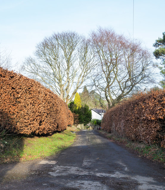
Image: © Trevor Littlewood Taken: 11 Feb 2019
This is the western end of Painshawfield Road, viewed looking east; it's a residential road in the Painshawfield or Park Estate area of the commuter village of Stocksfield. Properties there are mainly large, detached and set in good-sized gardens.
Images are licensed for reuse under creativecommons.org/licenses/by-sa/2.0
Image Location
Latitude
54.937875
Longitude
-1.90913