Old Boundary Marker north of Alcombe Manor, Box parish
Introduction
The photograph on this page of Old Boundary Marker north of Alcombe Manor, Box parish by Milestone Society as part of the Geograph project.
The Geograph project started in 2005 with the aim of publishing, organising and preserving representative images for every square kilometre of Great Britain, Ireland and the Isle of Man.

There are currently over 7.5m images from over 14,400 individuals and you can help contribute to the project by visiting https://www.geograph.org.uk
Old Boundary Marker north of Alcombe Manor, Box parish
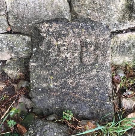
Image: © Milestone Society Taken: Unknown
Estate Boundary Marker by the C183, in parish of Box (North Wiltshire District), Alcombe Manor, set in stone wall on the West side of road. To be surveyed Milestone Society National ID: WI_BOX02em
Images are licensed for reuse under creativecommons.org/licenses/by-sa/2.0
Image Location
Latitude
51.424827
Longitude
-2.277821