Old Milestone by Riddings, Brampton parish
Introduction
The photograph on this page of Old Milestone by Riddings, Brampton parish by Milestone Society as part of the Geograph project.
The Geograph project started in 2005 with the aim of publishing, organising and preserving representative images for every square kilometre of Great Britain, Ireland and the Isle of Man.

There are currently over 7.5m images from over 14,400 individuals and you can help contribute to the project by visiting https://www.geograph.org.uk
Old Milestone by Riddings, Brampton parish
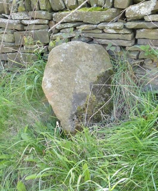
Image: © Milestone Society Taken: Unknown
Chapel Wedge by the UC road, in parish of Brampton (North East Derbyshire District), opposite Royal Oak PH, Riddings, South of Wigley, in grass with back to a drystone wall, South side of road. Inscription not recorded; shown as 'defaced' in 1877. Surveyed Milestone Society National ID: DE_CFTW04
Images are licensed for reuse under creativecommons.org/licenses/by-sa/2.0
Image Location
Latitude
53.240426
Longitude
-1.522771