The Croft, Wilmcote
Introduction
The photograph on this page of The Croft, Wilmcote by David Stowell as part of the Geograph project.
The Geograph project started in 2005 with the aim of publishing, organising and preserving representative images for every square kilometre of Great Britain, Ireland and the Isle of Man.

There are currently over 7.5m images from over 14,400 individuals and you can help contribute to the project by visiting https://www.geograph.org.uk
The Croft, Wilmcote
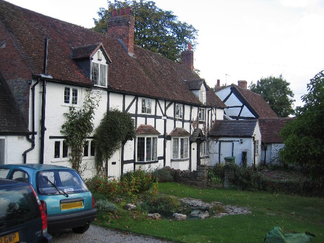
Image: © David Stowell Taken: 1 Oct 2005
Old timber framed cottages, complete with outdoor pumps for water, next door to the church.
Images are licensed for reuse under creativecommons.org/licenses/by-sa/2.0
Image Location


Leaflet Map data © OpenStreetMap
Latitude
52.21907
Longitude
-1.761361