Old Milestone by the B3153, east of East Lydford
Introduction
The photograph on this page of Old Milestone by the B3153, east of East Lydford by JR Dowding as part of the Geograph project.
The Geograph project started in 2005 with the aim of publishing, organising and preserving representative images for every square kilometre of Great Britain, Ireland and the Isle of Man.

There are currently over 7.5m images from over 14,400 individuals and you can help contribute to the project by visiting https://www.geograph.org.uk
Old Milestone by the B3153, east of East Lydford
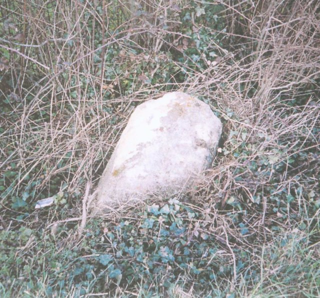
Image: © JR Dowding Taken: 25 Feb 2004
Stone post with lost plate by the B3153, in parish of Lydford on Fosse (Mendip District), East of East Lydford, fallen into ditch and the North side of the road. LSCC iron plate. Erected by the Langport, Somerton & Castle Cary turnpike trust in the 19th century. Inscription once read:- (SOMERTON 6) (CASTLE CARY 4) Somerset HER. HER number: 14624 https://www.heritagegateway.org.uk/Gateway/Results_Single.aspx?uid=14624&resourceID=100 Milestone Society National ID: SO_CCSO04.
Images are licensed for reuse under creativecommons.org/licenses/by-sa/2.0
Image Location
Latitude
51.077178
Longitude
-2.603362