Old Boundary Marker by Farlington Road, Hinton Waldrist parish
Introduction
The photograph on this page of Old Boundary Marker by Farlington Road, Hinton Waldrist parish by Milestone Society as part of the Geograph project.
The Geograph project started in 2005 with the aim of publishing, organising and preserving representative images for every square kilometre of Great Britain, Ireland and the Isle of Man.

There are currently over 7.5m images from over 14,400 individuals and you can help contribute to the project by visiting https://www.geograph.org.uk
Old Boundary Marker by Farlington Road, Hinton Waldrist parish
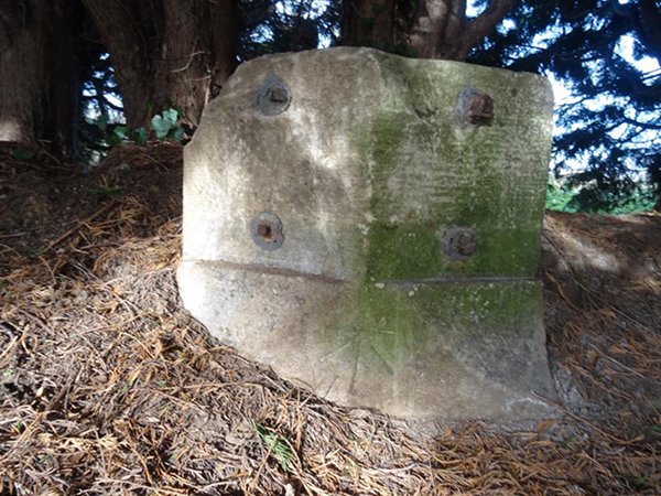
Image: © Milestone Society Taken: Unknown
Parish Boundary Marker (plates missing) by the UC road (was A420), in parish of Hinton Waldrist (Vale Of White Horse District), near Lamb and Flag PH. Carved bench mark below missing plates. Surveyed Milestone Society National ID: BE_LG66pb
Images are licensed for reuse under creativecommons.org/licenses/by-sa/2.0
Image Location


Leaflet Map data © OpenStreetMap
Latitude
51.675603
Longitude
-1.448233