Old Boundary Marker by the B3156, Chickerell Road, Charlestown
Introduction
The photograph on this page of Old Boundary Marker by the B3156, Chickerell Road, Charlestown by Mike Faherty as part of the Geograph project.
The Geograph project started in 2005 with the aim of publishing, organising and preserving representative images for every square kilometre of Great Britain, Ireland and the Isle of Man.

There are currently over 7.5m images from over 14,400 individuals and you can help contribute to the project by visiting https://www.geograph.org.uk
Old Boundary Marker by the B3156, Chickerell Road, Charlestown
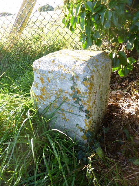
Image: © Mike Faherty Taken: 23 Oct 2013
Estate Boundary Marker - War Department by the B3156, in parish of Chickerell (West Dorset District), Chickerell Road, at right hand side of entrance to training area, against railings opposite park homes. Surveyed Milestone Society National ID: DO_WDCHI08em
Images are licensed for reuse under creativecommons.org/licenses/by-sa/2.0
Image Location
Latitude
50.613293
Longitude
-2.497466