Harbour Road, Wadebridge
Introduction
The photograph on this page of Harbour Road, Wadebridge by Derek Harper as part of the Geograph project.
The Geograph project started in 2005 with the aim of publishing, organising and preserving representative images for every square kilometre of Great Britain, Ireland and the Isle of Man.

There are currently over 7.5m images from over 14,400 individuals and you can help contribute to the project by visiting https://www.geograph.org.uk
Harbour Road, Wadebridge
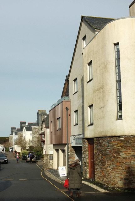
Image: © Derek Harper Taken: 6 Feb 2019
Flats in Harbour House (right) and the three blocks of Town Quay are separated by the Bridge Medical Centre.
Images are licensed for reuse under creativecommons.org/licenses/by-sa/2.0
Image Location
Latitude
50.51725
Longitude
-4.836242