Junction on Coggins Mill Lane
Introduction
The photograph on this page of Junction on Coggins Mill Lane by Chris Thomas-Atkin as part of the Geograph project.
The Geograph project started in 2005 with the aim of publishing, organising and preserving representative images for every square kilometre of Great Britain, Ireland and the Isle of Man.

There are currently over 7.5m images from over 14,400 individuals and you can help contribute to the project by visiting https://www.geograph.org.uk
Junction on Coggins Mill Lane
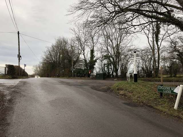
Image: © Chris Thomas-Atkin Taken: 13 Jan 2019
A junction of lanes and tracks at a high point (131 metres) on Coggins Mill Lane.
Images are licensed for reuse under creativecommons.org/licenses/by-sa/2.0
Image Location
Latitude
51.032696
Longitude
0.285041