Former school, Rhuallt
Introduction
The photograph on this page of Former school, Rhuallt by Eirian Evans as part of the Geograph project.
The Geograph project started in 2005 with the aim of publishing, organising and preserving representative images for every square kilometre of Great Britain, Ireland and the Isle of Man.

There are currently over 7.5m images from over 14,400 individuals and you can help contribute to the project by visiting https://www.geograph.org.uk
Former school, Rhuallt
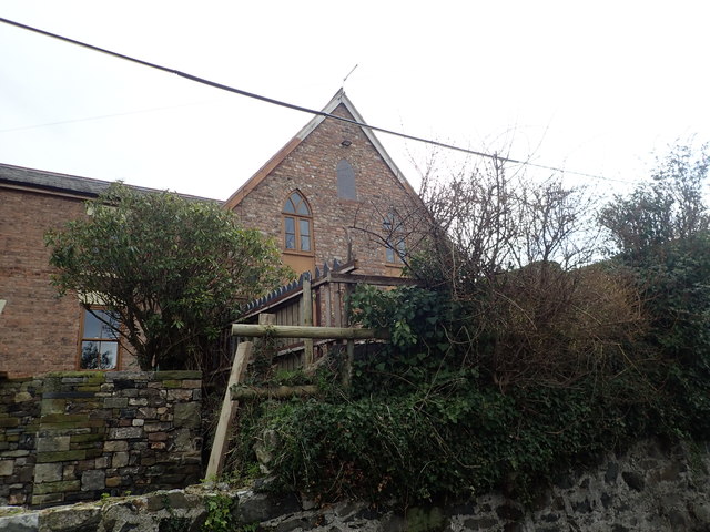
Image: © Eirian Evans Taken: 5 Feb 2019
Former British School, built by voluntary subscription in 1863. Currently being connected to the former chapel to its left Image in a house conversion project
Images are licensed for reuse under creativecommons.org/licenses/by-sa/2.0
Image Location
Latitude
53.264345
Longitude
-3.388868