Gelli?r haidd uchaf
Introduction
The photograph on this page of Gelli?r haidd uchaf by Alan Hughes as part of the Geograph project.
The Geograph project started in 2005 with the aim of publishing, organising and preserving representative images for every square kilometre of Great Britain, Ireland and the Isle of Man.

There are currently over 7.5m images from over 14,400 individuals and you can help contribute to the project by visiting https://www.geograph.org.uk
Gelli?r haidd uchaf
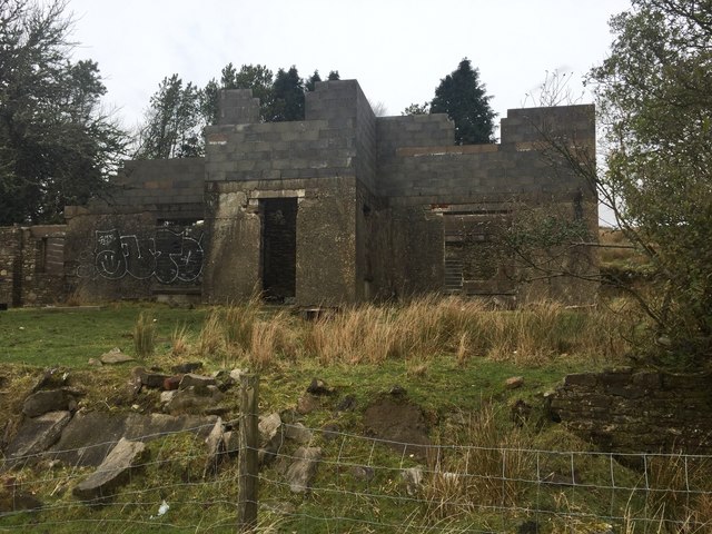
Image: © Alan Hughes Taken: 6 Feb 2019
Some work has been carried out to restore the old farmhouse of Gelli’r haidd uchaf. See also Image See also Image Note that the front elevation of the farmhouse is in one grid square and the rear is in another.
Images are licensed for reuse under creativecommons.org/licenses/by-sa/2.0
Image Location
Latitude
51.572743
Longitude
-3.45531