Acton Trussell
Introduction
The photograph on this page of Acton Trussell by David Dixon as part of the Geograph project.
The Geograph project started in 2005 with the aim of publishing, organising and preserving representative images for every square kilometre of Great Britain, Ireland and the Isle of Man.

There are currently over 7.5m images from over 14,400 individuals and you can help contribute to the project by visiting https://www.geograph.org.uk
Acton Trussell
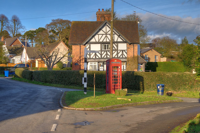
Image: © David Dixon Taken: 4 Feb 2019
Acton Trussell is an affluent village approximately 4 miles southeast of Stafford; it was recorded in the Domesday Book as "Actone".
Images are licensed for reuse under creativecommons.org/licenses/by-sa/2.0
Image Location
Latitude
52.75795
Longitude
-2.095087