Old Boundary Marker
Introduction
The photograph on this page of Old Boundary Marker by C Woodward as part of the Geograph project.
The Geograph project started in 2005 with the aim of publishing, organising and preserving representative images for every square kilometre of Great Britain, Ireland and the Isle of Man.

There are currently over 7.5m images from over 14,400 individuals and you can help contribute to the project by visiting https://www.geograph.org.uk
Old Boundary Marker
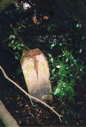
Image: © C Woodward Taken: 30 May 2014
Municipal Boundary Marker in parish of Kingston Upon Thames (Kingston Upon Thames District), on the west side of the cycle track, east of the River Thames towpath, and two metres from SY_KIN02pb. Surveyed Milestone Society National ID: SY_KIN01pb
Images are licensed for reuse under creativecommons.org/licenses/by-sa/2.0
Image Location
Latitude
51.428673
Longitude
-0.314097