Old Direction Sign - Signpost by Christmas Common, Watlington parish
Introduction
The photograph on this page of Old Direction Sign - Signpost by Christmas Common, Watlington parish by Milestone Society as part of the Geograph project.
The Geograph project started in 2005 with the aim of publishing, organising and preserving representative images for every square kilometre of Great Britain, Ireland and the Isle of Man.

There are currently over 7.5m images from over 14,400 individuals and you can help contribute to the project by visiting https://www.geograph.org.uk
Old Direction Sign - Signpost by Christmas Common, Watlington parish
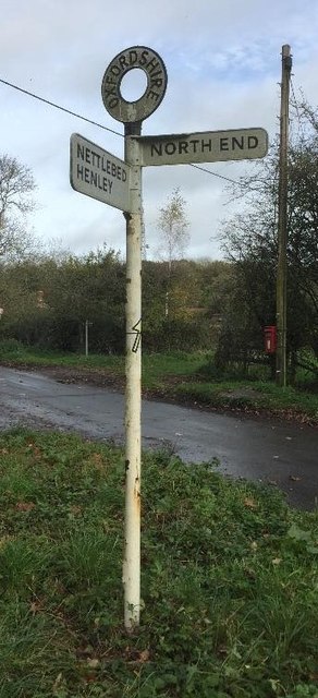
Image: © Milestone Society Taken: Unknown
Annulus finial - 2 arms; Oxford CC halo by the UC road, in parish of Watlington (South Oxfordshire District), Christmas Common, Y-junction of Nettlebed Henley with Hollandridge Lane, on grass triangle. Surveyed Milestone Society National ID: OX_SU7193
Images are licensed for reuse under creativecommons.org/licenses/by-sa/2.0
Image Location
Latitude
51.63371
Longitude
-0.968824