Old Boundary Marker by Bowscale Moss, Mungrisdale parish
Introduction
The photograph on this page of Old Boundary Marker by Bowscale Moss, Mungrisdale parish by Milestone Society as part of the Geograph project.
The Geograph project started in 2005 with the aim of publishing, organising and preserving representative images for every square kilometre of Great Britain, Ireland and the Isle of Man.

There are currently over 7.5m images from over 14,400 individuals and you can help contribute to the project by visiting https://www.geograph.org.uk
Old Boundary Marker by Bowscale Moss, Mungrisdale parish
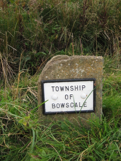
Image: © Milestone Society Taken: Unknown
Parish Boundary Marker with metal plate by the UC road, in parish of Mungrisdale (Eden District), Bowscale Moss, near bridge. Inscription reads:- TOWNSHIP OF BOWSCALE Surveyed Milestone Society National ID: CU_MUAM10pb
Images are licensed for reuse under creativecommons.org/licenses/by-sa/2.0
Image Location
Latitude
54.677302
Longitude
-2.985363