Old Boundary Marker by the B5254, Leyland Road, Preston parish
Introduction
The photograph on this page of Old Boundary Marker by the B5254, Leyland Road, Preston parish by Milestone Society as part of the Geograph project.
The Geograph project started in 2005 with the aim of publishing, organising and preserving representative images for every square kilometre of Great Britain, Ireland and the Isle of Man.

There are currently over 7.5m images from over 14,400 individuals and you can help contribute to the project by visiting https://www.geograph.org.uk
Old Boundary Marker by the B5254, Leyland Road, Preston parish
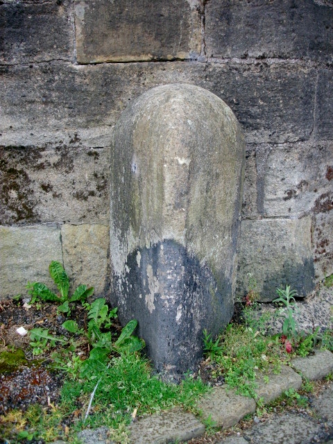
Image: © Milestone Society Taken: Unknown
Parish Boundary Marker by the B5254, in parish of Preston (Preston District), Leyland Road, junction with Riverside Road, at entrance to old Penwortham Bridge (now footbridge). Surveyed Milestone Society National ID: LA_PSOK01bpb
Images are licensed for reuse under creativecommons.org/licenses/by-sa/2.0
Image Location
Latitude
53.748453
Longitude
-2.71434