Old Milestone by Claverton Down Road, Claverton parish
Introduction
The photograph on this page of Old Milestone by Claverton Down Road, Claverton parish by JR Dowding as part of the Geograph project.
The Geograph project started in 2005 with the aim of publishing, organising and preserving representative images for every square kilometre of Great Britain, Ireland and the Isle of Man.

There are currently over 7.5m images from over 14,400 individuals and you can help contribute to the project by visiting https://www.geograph.org.uk
Old Milestone by Claverton Down Road, Claverton parish
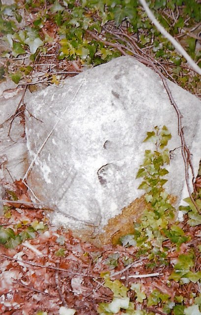
Image: © JR Dowding Taken: 26 Apr 2007
Stone post (plate lost) by the UC road, in parish of CLAVERTON (BATH AND NORTH EAST SOMERSET District), Claverton Down Road, just short of junction with Norwood Avenue, well back from road, at back of ditch, in front of wall, on North side of road. Bath iron plate, erected by the Bath turnpike trust in the 19th century. Inscription once read:- (To) (BATH) (2) Milestone Society National ID: SO_BACL02.
Images are licensed for reuse under creativecommons.org/licenses/by-sa/2.0
Image Location
Latitude
51.373095
Longitude
-2.324155