Old Boundary Marker by Murdle Street, Stepney parish
Introduction
The photograph on this page of Old Boundary Marker by Murdle Street, Stepney parish by Milestone Society as part of the Geograph project.
The Geograph project started in 2005 with the aim of publishing, organising and preserving representative images for every square kilometre of Great Britain, Ireland and the Isle of Man.

There are currently over 7.5m images from over 14,400 individuals and you can help contribute to the project by visiting https://www.geograph.org.uk
Old Boundary Marker by Murdle Street, Stepney parish
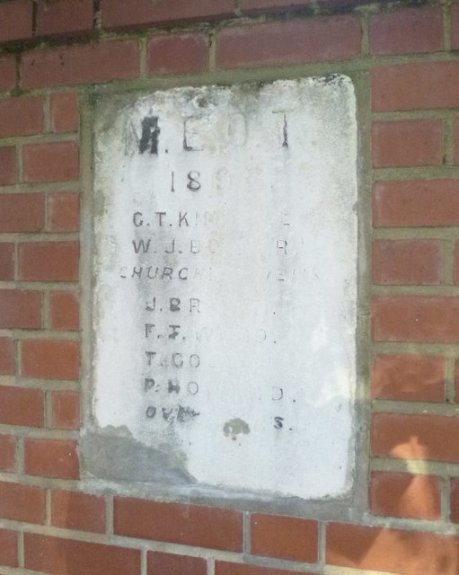
Image: © Milestone Society Taken: Unknown
Parish Boundary Marker by the UC road, in parish of Stepney (Tower Hamlets District), Myrdle Street E1, near junction with Fieldgate Street on low wall, West side of road. Inscription weathered. Surveyed Milestone Society National ID: MX_MEOT04pb
Images are licensed for reuse under creativecommons.org/licenses/by-sa/2.0
Image Location
Latitude
51.516986
Longitude
-0.063596