Direction Sign - Signpost on the B3355 Hallatrow Road, Paulton
Introduction
The photograph on this page of Direction Sign - Signpost on the B3355 Hallatrow Road, Paulton by Milestone Society as part of the Geograph project.
The Geograph project started in 2005 with the aim of publishing, organising and preserving representative images for every square kilometre of Great Britain, Ireland and the Isle of Man.

There are currently over 7.5m images from over 14,400 individuals and you can help contribute to the project by visiting https://www.geograph.org.uk
Direction Sign - Signpost on the B3355 Hallatrow Road, Paulton
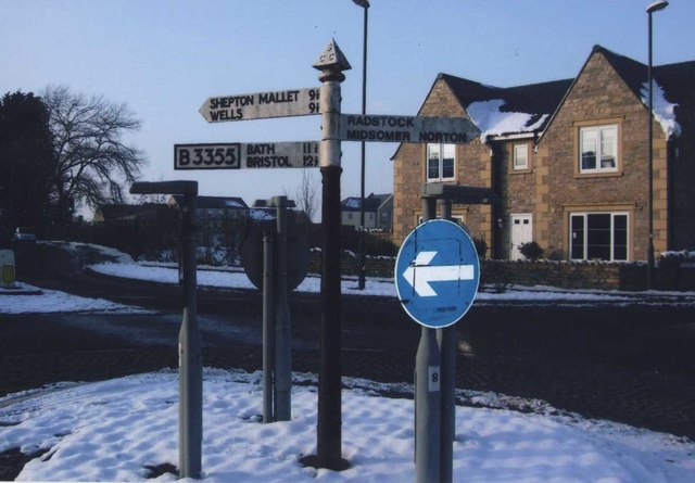
Image: © Milestone Society Taken: Unknown
Pyramid finial - 3 arms; Somerset SCC pyramid by the UC road, in parish of Paulton (Bath And North East Somerset District), in the centre of the roundabout where the B3355 Hallatrow Road, Farrington Road, Church Street and Purnell Way meet. surveyed Milestone Society National ID: SO_ST6456
Images are licensed for reuse under creativecommons.org/licenses/by-sa/2.0
Image Location
Latitude
51.307338
Longitude
-2.504808