Old Boundary Marker by the A212,
Introduction
The photograph on this page of Old Boundary Marker by the A212, by Milestone Society as part of the Geograph project.
The Geograph project started in 2005 with the aim of publishing, organising and preserving representative images for every square kilometre of Great Britain, Ireland and the Isle of Man.

There are currently over 7.5m images from over 14,400 individuals and you can help contribute to the project by visiting https://www.geograph.org.uk
Old Boundary Marker by the A212,
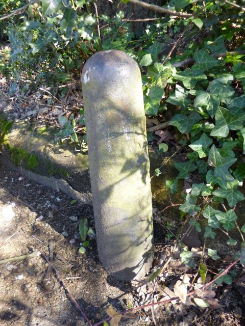
Image: © Milestone Society Taken: Unknown
Parish Boundary Marker by the A212, in parish of Lewisham and Blackheath (Lewisham District), Crystal Palace Parade SE19, just South of junction with Westwood Hill, against low wall. Surveyed Milestone Society National ID: KE_LEW03pb
Images are licensed for reuse under creativecommons.org/licenses/by-sa/2.0
Image Location
Latitude
51.426044
Longitude
-0.074016