Carrickstone water tower
Introduction
The photograph on this page of Carrickstone water tower by Richard Webb as part of the Geograph project.
The Geograph project started in 2005 with the aim of publishing, organising and preserving representative images for every square kilometre of Great Britain, Ireland and the Isle of Man.

There are currently over 7.5m images from over 14,400 individuals and you can help contribute to the project by visiting https://www.geograph.org.uk
Carrickstone water tower
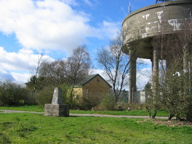
Image: © Richard Webb Taken: 7 Apr 2005
Until recently Carrickstone was a hilltop farm, the trigpoint in a hedge at the side of a lane. Now it has been swallowed up by new housing in Cumbernauld. The water tower is a hilltop landmark.
Images are licensed for reuse under creativecommons.org/licenses/by-sa/2.0
Image Location
Latitude
55.961533
Longitude
-3.996551