Old Milestone by High Road, Beeston
Introduction
The photograph on this page of Old Milestone by High Road, Beeston by J Higgins as part of the Geograph project.
The Geograph project started in 2005 with the aim of publishing, organising and preserving representative images for every square kilometre of Great Britain, Ireland and the Isle of Man.

There are currently over 7.5m images from over 14,400 individuals and you can help contribute to the project by visiting https://www.geograph.org.uk
Old Milestone by High Road, Beeston
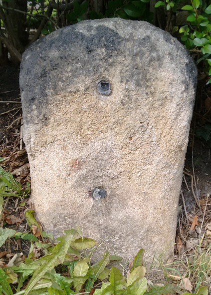
Image: © J Higgins Taken: 1 Jan 2005
Stone post (plate lost) by the UC road, in parish of BEESTON (BROXTOWE District), High Road, immediately West of The Close, in hedge, just South of house, on North side of road. Beeston plate, erected by the Nottingham & Grantham, Western End turnpike trust in the 19th century. Inscription once read:- (Nottingham) (5) (Ashby de la Zouch) (17) Milestone Society National ID: NT_NTTM05.
Images are licensed for reuse under creativecommons.org/licenses/by-sa/2.0
Image Location
Latitude
52.917816
Longitude
-1.232697