Old Milestone by Maidstone Road, Bluebell Hill village
Introduction
The photograph on this page of Old Milestone by Maidstone Road, Bluebell Hill village by C Woodward as part of the Geograph project.
The Geograph project started in 2005 with the aim of publishing, organising and preserving representative images for every square kilometre of Great Britain, Ireland and the Isle of Man.

There are currently over 7.5m images from over 14,400 individuals and you can help contribute to the project by visiting https://www.geograph.org.uk
Old Milestone by Maidstone Road, Bluebell Hill village
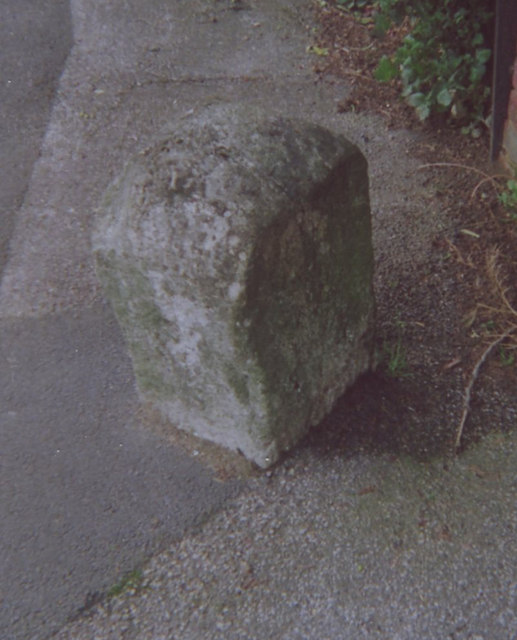
Image: © C Woodward Taken: 2 Jun 2008
Carved stone post by the UC road (was B2097), in parish of AYLESFORD (TONBRIDGE AND MALLING District), Maidstone Road, Bluebell Hill village, by No. 512, North of Barling Close, in pavement, in front of brick wall, on West side of road. Rochester stone, erected by the Rochester & Maidstone turnpike trust in the 19th century. Inscription reads:- : (MI)LES / XXX / ( ) V : Kent HER listed. HER Number: TQ 76 SW 470 https://www.heritagegateway.org.uk/Gateway/Results_Single.aspx?uid=MKE78151&resourceID=1005 Milestone Society National ID: KE_MDRC04.
Images are licensed for reuse under creativecommons.org/licenses/by-sa/2.0
Image Location
Latitude
51.332589
Longitude
0.505018