Old Boundary Marker by Hamlets Way, Stepney
Introduction
The photograph on this page of Old Boundary Marker by Hamlets Way, Stepney by Milestone Society as part of the Geograph project.
The Geograph project started in 2005 with the aim of publishing, organising and preserving representative images for every square kilometre of Great Britain, Ireland and the Isle of Man.

There are currently over 7.5m images from over 14,400 individuals and you can help contribute to the project by visiting https://www.geograph.org.uk
Old Boundary Marker by Hamlets Way, Stepney
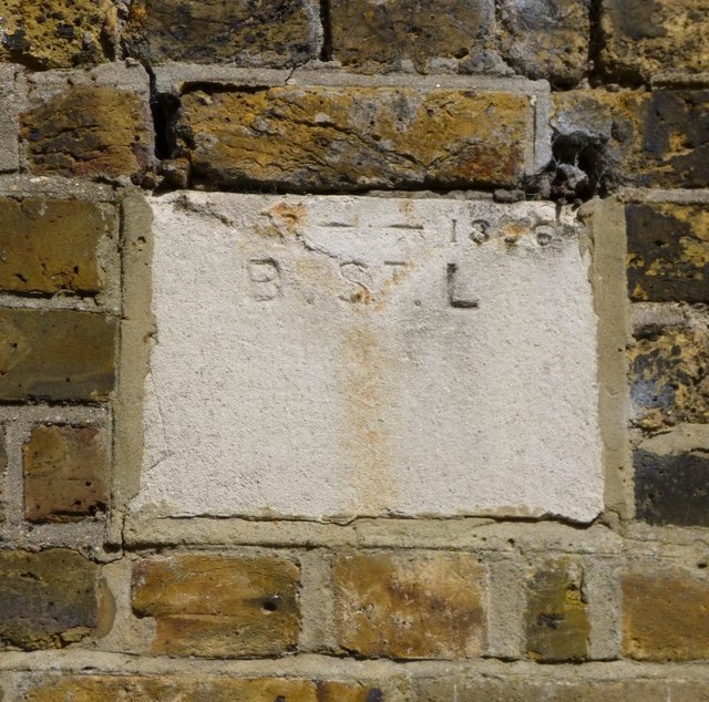
Image: © Milestone Society Taken: Unknown
Parish Boundary Marker by the UC road, in parish of Stepney (Tower Hamlets District), Hamlets Way E3, path North of, and overlooking cemetery, next to gateway, third from top. Tower Hamlets Cemetery Boundary Wall and gate piers are Grade II Listed. List Entry Number: 1065056 https://historicengland.org.uk/listing/the-list/list-entry/1065056 Surveyed Milestone Society National ID: MX_BSL03pb
Images are licensed for reuse under creativecommons.org/licenses/by-sa/2.0
Image Location
Latitude
51.524138
Longitude
-0.028695