From East Knowles Farm to Norden
Introduction
The photograph on this page of From East Knowles Farm to Norden by Carroll Pierce as part of the Geograph project.
The Geograph project started in 2005 with the aim of publishing, organising and preserving representative images for every square kilometre of Great Britain, Ireland and the Isle of Man.

There are currently over 7.5m images from over 14,400 individuals and you can help contribute to the project by visiting https://www.geograph.org.uk
From East Knowles Farm to Norden
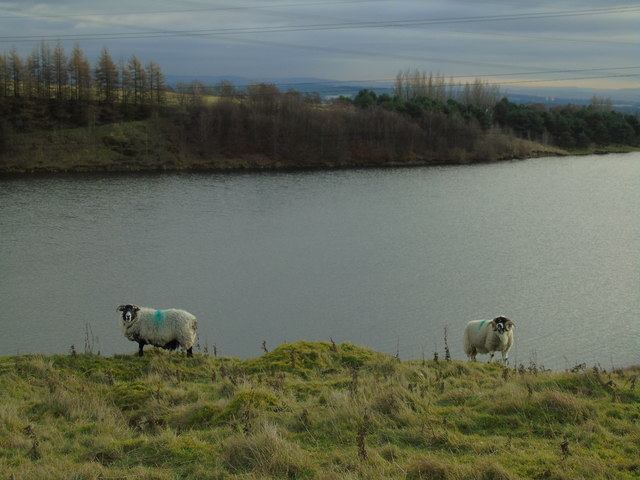
Image: © Carroll Pierce Taken: 9 Jan 2019
Taken on the path running along the western edge of Greenbooth Reservoir below East Knowles Farm, Norden, Rochdale, Greater Manchester, I am looking south west across the water to the village of Norden and towards Heywood beyond. I am also admired these beautiful Swaledale specimens!
Images are licensed for reuse under creativecommons.org/licenses/by-sa/2.0
Image Location


Leaflet Map data © OpenStreetMap
Latitude
53.633489
Longitude
-2.215763