Old Waymarker Stone by Eastburn Cross, Sutton Parish
Introduction
The photograph on this page of Old Waymarker Stone by Eastburn Cross, Sutton Parish by Milestone Society as part of the Geograph project.
The Geograph project started in 2005 with the aim of publishing, organising and preserving representative images for every square kilometre of Great Britain, Ireland and the Isle of Man.

There are currently over 7.5m images from over 14,400 individuals and you can help contribute to the project by visiting https://www.geograph.org.uk
Old Waymarker Stone by Eastburn Cross, Sutton Parish
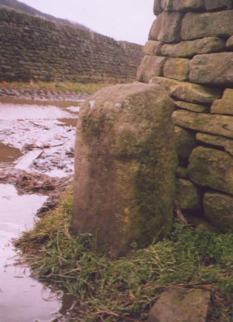
Image: © Milestone Society Taken: Unknown
Eastburn Cross, standing stone by the track, in parish of Sutton (Craven District), Lyon Road, Eastburn, North West corner of track east of Lyon Road, near cream buildings. Surveyed Milestone Society National ID: YNCR_SUT
Images are licensed for reuse under creativecommons.org/licenses/by-sa/2.0
Image Location
Latitude
53.899643
Longitude
-1.966939